GIS and RS
Nov 13, 2025
How GIS Helped a Growing City Plan Smarter, Greener Infrastructure
Leverage GIS and data-driven planning to cut risk, protect ecosystems, and speed up approvals.

GIS and RS
Nov 13, 2025
Leverage GIS and data-driven planning to cut risk, protect ecosystems, and speed up approvals.
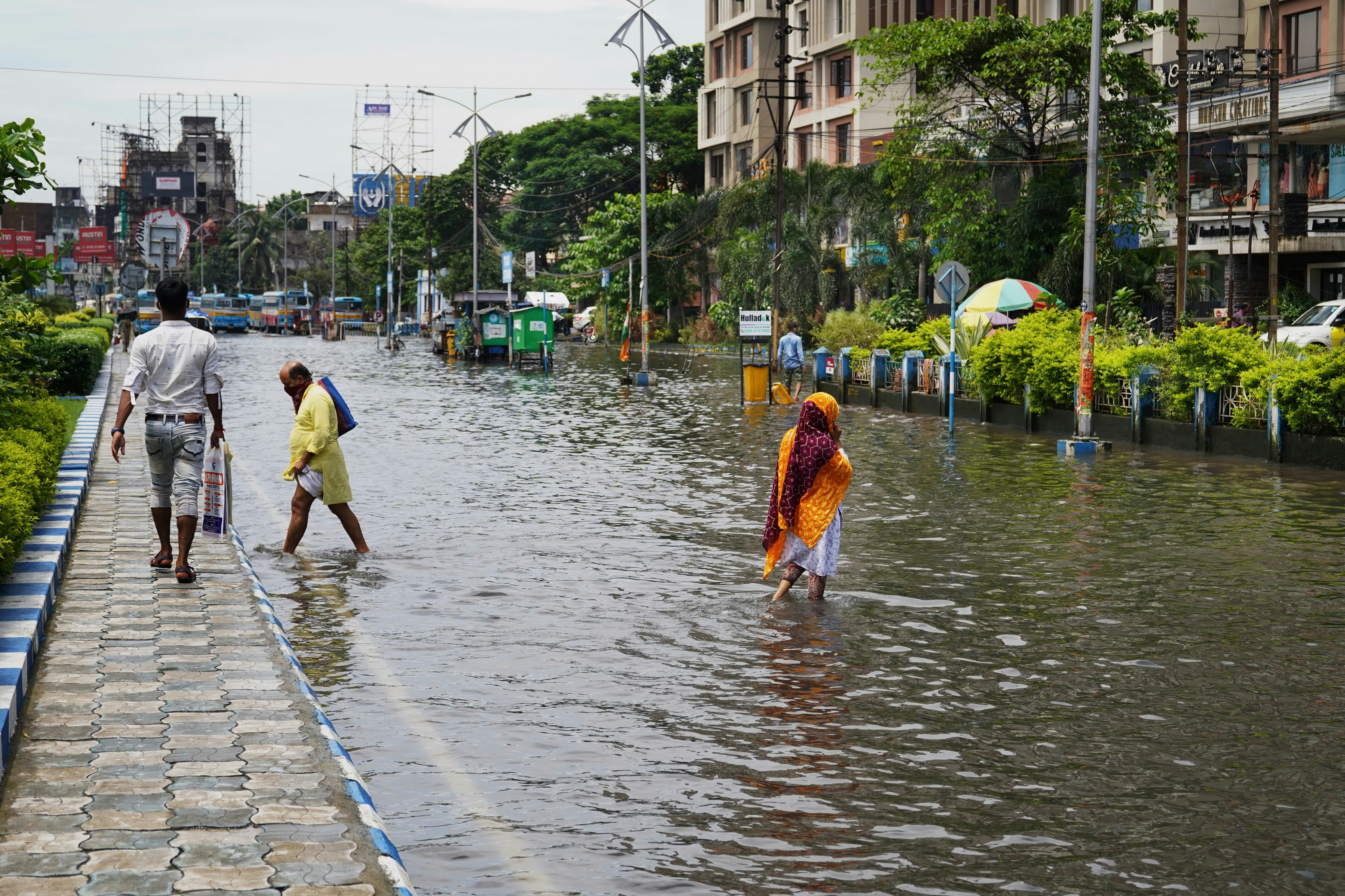
As Indian cities expand, planners are under pressure to deliver new housing, roads, and services without destroying wetlands, rivers, and green cover. A mid-sized city partnered with a planning and GIS team to redesign its growth strategy, using geospatial data to decide where to build, what to protect, and how to phase investments. By integrating land use, transport, environmental, and demographic layers, the city avoided high-risk locations and created a more compact, efficient urban form.
Unplanned expansion leads to flooding, traffic bottlenecks, and loss of biodiversity, all of which are expensive and difficult to fix later. Traditional planning based on static maps and fragmented spreadsheets makes it hard to see how one decision affects everything else—from aquifers to public transport. GIS changes this by bringing all spatial information into one platform, so sustainability and infrastructure decisions are based on evidence, not guesswork.
Greenfield site suitability
Overlaying soil, slope, flood, and biodiversity layers to pinpoint zones where development is technically feasible and environmentally responsible.
Protection of sensitive areas
Identifying wetlands, river buffers, urban forests, and wildlife corridors to designate as no‑build or low‑impact zones.
Smarter infrastructure phasing
Mapping existing networks and growth hotspots to stage investments in roads, water, and power where they unlock the most value.
Climate risk mapping
Using flood, heat, and drainage data to locate vulnerable communities and test adaptation options such as detention ponds or green corridors.
Transparent engagement
Publishing interactive maps so citizens can see proposals, flag local issues like flooding hotspots, and participate in decision‑making.
Within the first planning cycle, the city used GIS analysis to redirect several large projects away from high‑risk floodplains and ecologically sensitive tracts, reducing long‑term climate and compensation risks. Compact growth scenarios and optimized infrastructure networks lowered projected road and utility costs per household, while reserving more land for parks and blue–green corridors. Public access to map-based proposals improved trust, and feedback collected through web maps led to design changes that better reflected on‑ground realities.
This case shows how GIS can move urban planning from intuition to insight. For organizations like Planerth, integrating GIS into every greenfield and brownfield feasibility study turns data into a strategic asset—helping clients cut costs, protect ecosystems, and secure faster regulatory approvals with defensible, map-backed decisions.